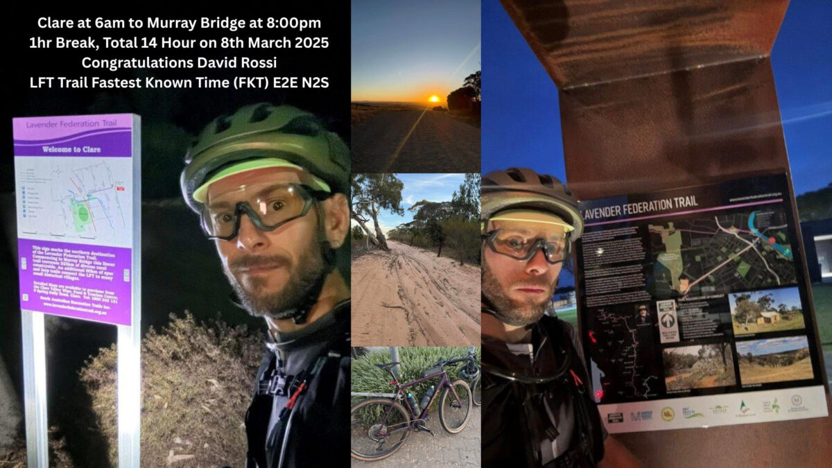
David Rossi can proudly claim the fastest known time to complete the Lavender Cycling Trail after his ride in March 2025.
In David’s words,
“A little while ago I set myself the goal of riding the Lavender Cycling Trail in as little time as I could, and on the Saturday of the Adelaide Cup long weekend I attempted to set a Fastest Known Time for the trail.
“I set off from Clare at 6am with the goal of 14 hours total, including 1 hour total for breaks. Overall the day went to plan, albeit quite warm into the mid 30s late in the day, and the breeze was generally either a headwind or crosswind. With the lack of rain the roads were much sandier than any of the previous times I’d ridden the trail, especially as I made my way towards Murray Bridge.
“The way the Trail links together small towns made it easy to plan my stops for water and food, and although I sometimes joke about the Trail being a cemetery tour, it does allow me to drop by the spot where my Grandparents are laid in Eden Valley near their old house.
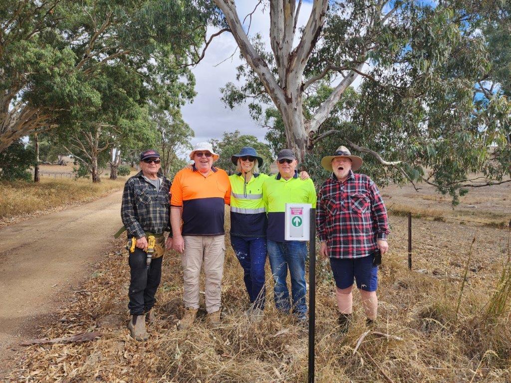
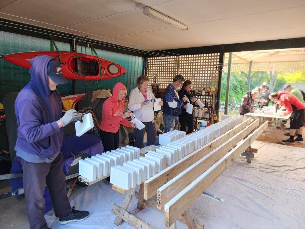
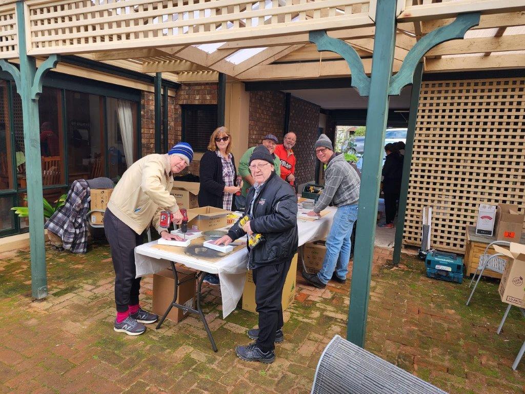
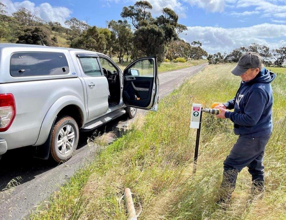
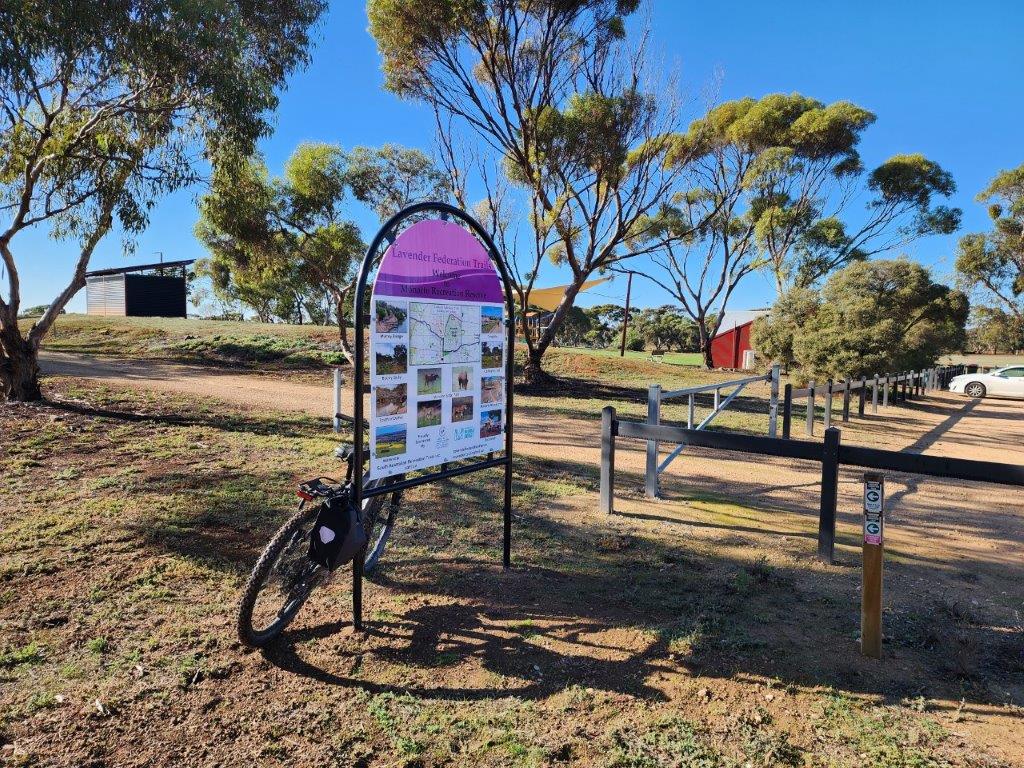
“I did notice the additional signage and markers along the Trail, so would like to say a big thank you to all the work done in maintaining the Trail.
“I arrived in Murray Bridge at 8:00pm, right on my goal time, and as far as I know it’s the fastest time for the Trail, but would be happy to be shown otherwise.”
SARTI Secretary, Helen has verified that David’s time is certainly the fastest time.
Well done David.