The Murray to Clare Lavender Cycling Trail (M2C)
is a 300 kilometre cycling route inspired by the
Lavender Federation Walking Trail.
The M2C follows dirt roads & tracks from Murray Bridge to Clare.
Built entirely by Volunteers.
Accommodation Suppliers


The Latest News
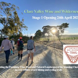
Clare Valley Wine & Wilderness Trail – 24th Apr 2021 – Opening Stage 1
Highlighting the Premium, Wine, Food and Natural Landscapes of the stunning Clare Valley on over 100km of new hiking and cycling trails. Clare Valley Wine and Wilderness Trail – Stage…
Great Cover By “La Velocita” Of M2C
The news did not take long to filter through the local cycling community that the well respected Australian Cycling Website “LA VELOCITA” team had ridden the new Lavender Cycling Trail…
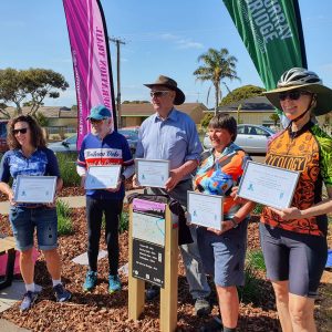
M2C Trail Builders Acknowledged For Work
Saturday 12th September 2020 was a big day for cycling, the official opening of the Callington to Murray Bridge Spur Trail. It turned out to be a magnificent day for…
Lavender Cycling Trail Website Launched Today
The South Australian Recreation Trails Inc are proud to release this new website, to celebrate the work of one of our volunteer groups who have made a fabulous 300km cycling…
Murray to Clare by sections
Because the elevation of Clare is 400 metres above Murray Bridge, it is probably easier to ride the M2C from Clare South to Murray Bridge.
We have presented the trail in two ways:
- M2C IN SIX SECTIONS: On the Top Menu – (Home) you can choose to follow the trail between each of the major townships which logically makes the trail divided into six sections, travelling from the North to the South.
- M2C IN FOUR SECTIONS: Below is an overview about the trail in four sections, travelling from the north to the south.
- M2C IN A VARIETY OF WAYS: The Trail can also just as easily be ridden from South to North, and you can easily start at various points and do part of the trail at your leisure or at speed. You may also decide to spend a few days in certain areas, there are so many ways to enjoy the Lavender Cycling Trail (M2C) by riders of different abilities and aspirations.
1: Clare to Waterloo (67 kilometres)
This section takes you through the Clare Valley and includes Spring Gully Conservation Park and some lesser known towns such as Manoora and Waterloo.
The ride from Clare through Spring Gully to Watervale is one of the most challenging sections of the route, but those who don’t enjoy steep ascents can use the Riesling Trail instead.

For further information about the M2C between Clare and Waterloo click here.
2: Waterloo to Eudunda (44 kilometres)
This is the most difficult and remote part of the Murray to Clare Cycling Trail, with climbs over Quinns Gap and Webbs Gap to Inspiration Point.
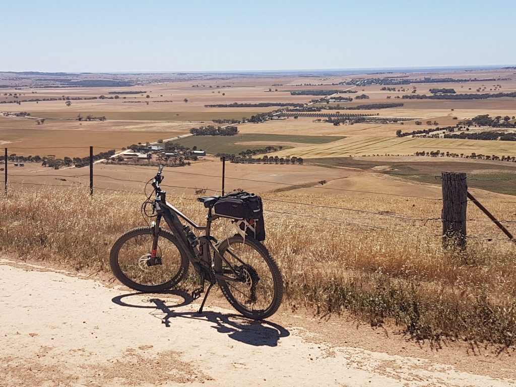
For bike-packers, the town of Eudunda is the major food re-supply point along the trail, with a Foodland normally open 7 days per week. You can read more detailed information about the M2C between Waterloo and Eudunda here.
3: Eudunda to Mount Pleasant (119 kilometres)
From Eudunda, the Murray to Clare Cycling Trail follows the eastern side of the Mount Lofty Ranges and the Barossa Valley wine region through to Mount Pleasant.
HINT: If you feel this is perhaps too large a distance for you then refer to these four shorter sections. Well worth doing this way as you have more time to look around.
M2C – 3: Eudunda to Truro (41 km),
M2C – 4: Truro to Eden Valley (46 km)
M2C – 5: Eden Valley to Mount Pleasant (32 km)
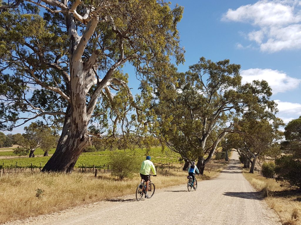
Eudunda and Mount Pleasant are the two largest towns on the route. For more information about this section see
Keen to read more?
Then these articles on the Uncool Cycling Club website will be well worth reading
an eBike rider’s experience between
Eudunda and Moculta and
Moculta and Mount Pleasant.
4: Mount Pleasant to Murray Bridge (72 kilometres)
Heading south from Mount Pleasant, the M2C begins its descent into the more arid regions of the Murray River plains.
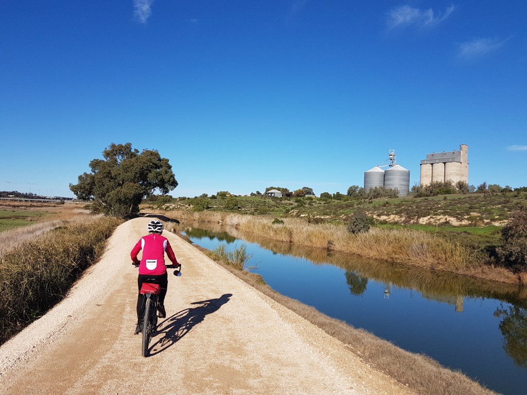
For more information about this section see
- Mount Pleasant to Murray Bridge (in detail)
- eBike rider’s story about riding this section of the M2C on the Uncool Cycling Club website
Why is a separate cycling trail necessary?
Bicycles are not permitted on the private property sections of the Lavender Walking Trail. Also many parts of the Lavender Walking Trail are not suitable for bikes, due to stiles, rocky terrain and the absence of a suitable riding track.
Precautions
Most of the trail is very accessible from Adelaide (1 to 2 hours by car). However, it is surprisingly remote. Please be well prepared, carrying plenty of food and water. Mobile phone reception is also patchy.
Please note the Murray to Clare Cycling Trail is not sign-posted. You can download route information from the map above.
For accommodation suggestions in or near towns along the Murray to Clare Cycling Trail, see the Lavender Trail Accommodation Page.
Milestones of the M2C
Transport Options
To/From Clare
Yorke Peninsula Coaches has a three times weekly service between Adelaide and Clare. Also, Genesis Tranport offers a twice weekly bus service with drop-off/pick-up at Blyth, less than twenty kilometres from Clare.
To/From Murray Bridge
LinkSA provides a daily service to Murray Bridge. Please phone 08 8532 2633 for further information.
If you would like to provide feedback about the Murray to Clare Cycling Trail, please contact us. We will respond to you as soon as possible.
