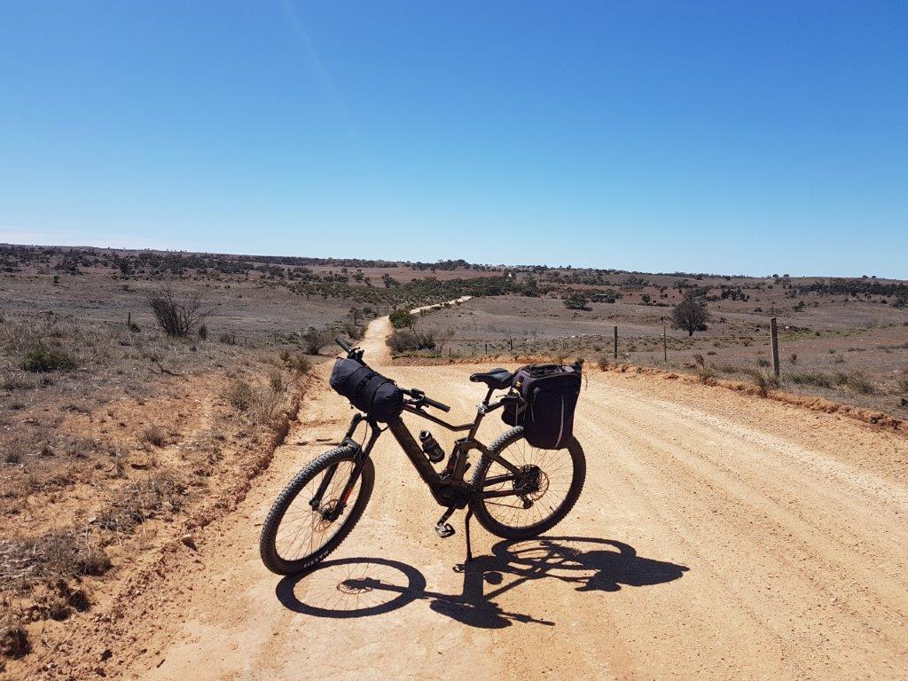
In this section of the Murray to Clare Lavender Cycling Trail (M2C) you descend from the eastern side of the Mount Lofty Ranges. After crossing the arid plains that surround the Murray River, your reach the end of your journey at Murray Bridge.
Mount Pleasant to Tungkillo (8 km)
In the short ride from Mount Pleasant to Tungkillo, the M2C follows the Kidman Horse Trail for half of the way. Take care on McGillvray Road, which is sandy in places.
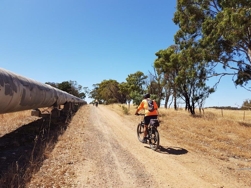
As you enter the town of Tungkillo, you ride alongside the Adelaide to Mannum pipeline, which brings water from the Murray River to supplement Adelaide’s water supply.
There are public toilets at the community Post Office in Tungkillo where you can refill your water bottles.
Tungkillo to Rockleigh (20 km)
After a short steep climb out of Tunkgillo, you can see sweeping views towards the Murray River
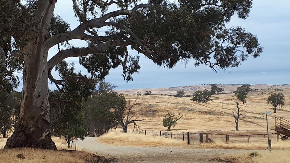
before rolling down to Hoads Woolshed.
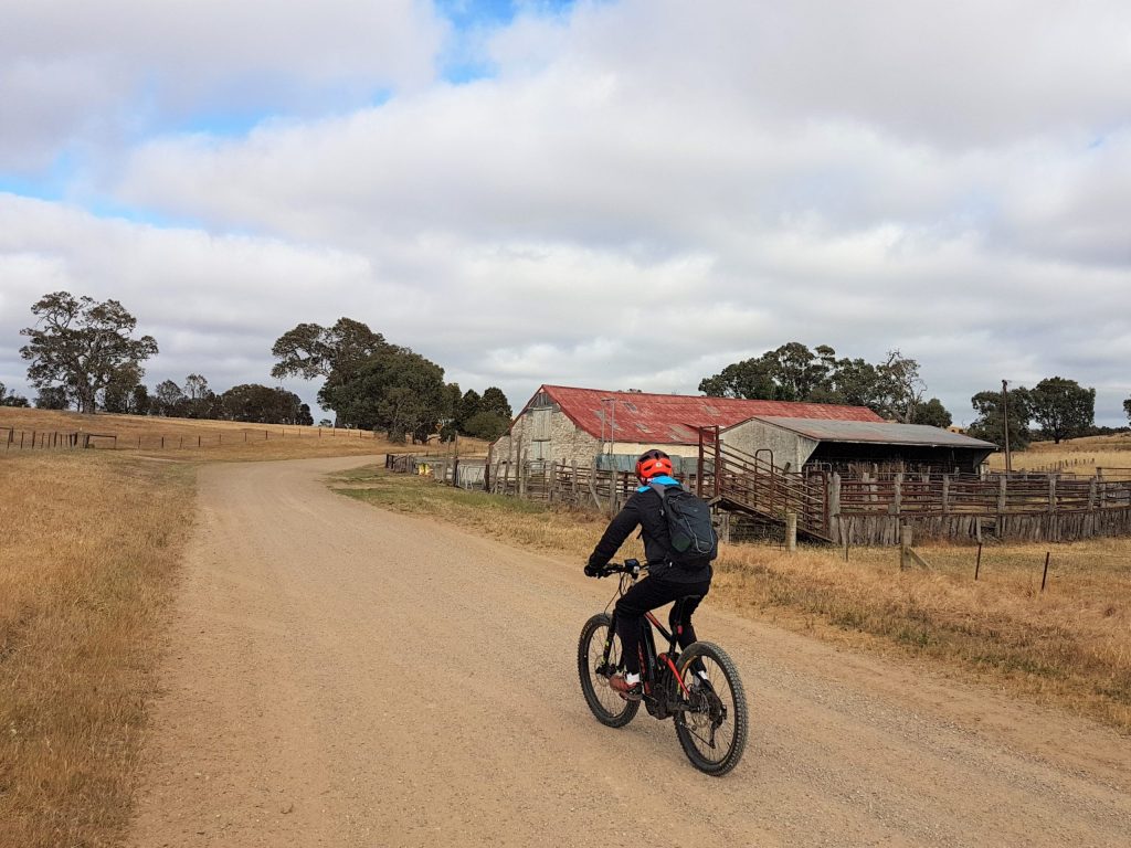
Built around 1858 and heritage-listed, this historic woolshed is still in use today.
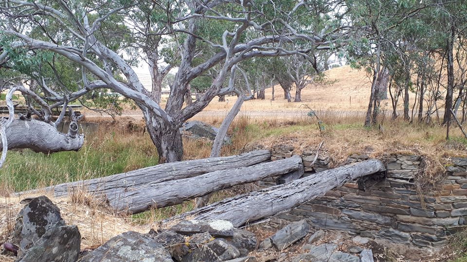
Travelling further south, the next point of interest can be found where Collins Road crosses Dairy Creek. You can see the remains of the old log bridge and its buttresses next to the modern crossing.
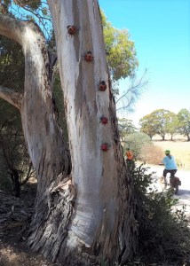
On Black Heath Road, a local farmer has created some interesting ladybird sculptures which decorate the trees outside her property.
After this, you have an enjoyable ten kilometre roll, with only a few “undulations”. Soon you arrive at the Old Rockleigh School House.

This once nearly derelict school house has recently been restored by the Mount Pleasant Men’s Shed members, with assistance from the Mid-Murray Council.
It is also an authorised campsite on the Kidman Trail, a multi-use long distance trail designed primarily for horse-riders. Long drop toilets are provided.
Rockleigh to Monarto (25 km)
Shortly after you leave the Old Rockleigh School House, you begin another wonderful downhill roll for seven kilometres. As you descend, you pass historic Rockleigh Uniting Church, still in use today.
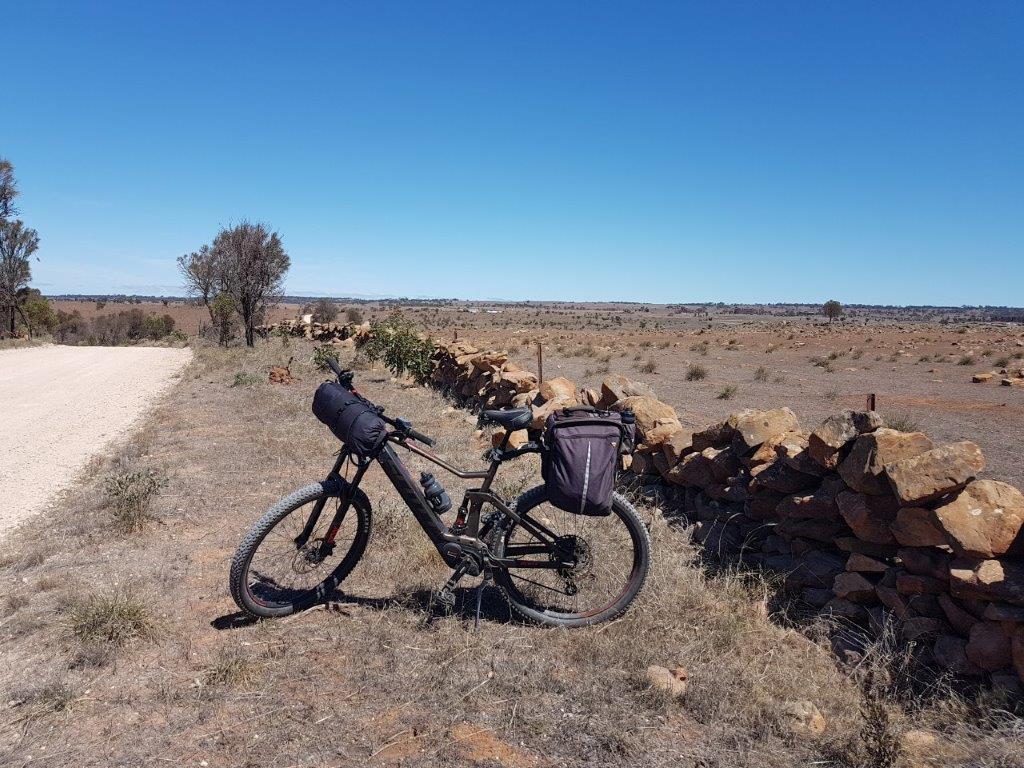
On Panican HIll Road, the scenery becomes very open and dry. Old stone walls provide evidence of the back breaking work which the early white settlers put into this area.
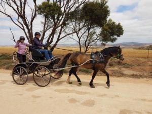
As you turn on to Highland Road, there are views towards Mount Barker on a clear day. With this area being popular with equestrians, it is not unusual to come across a horse pulling an open carriage.
Soon you turn off Highland Road onto some enjoyable single track through the Monarto Woodlands.
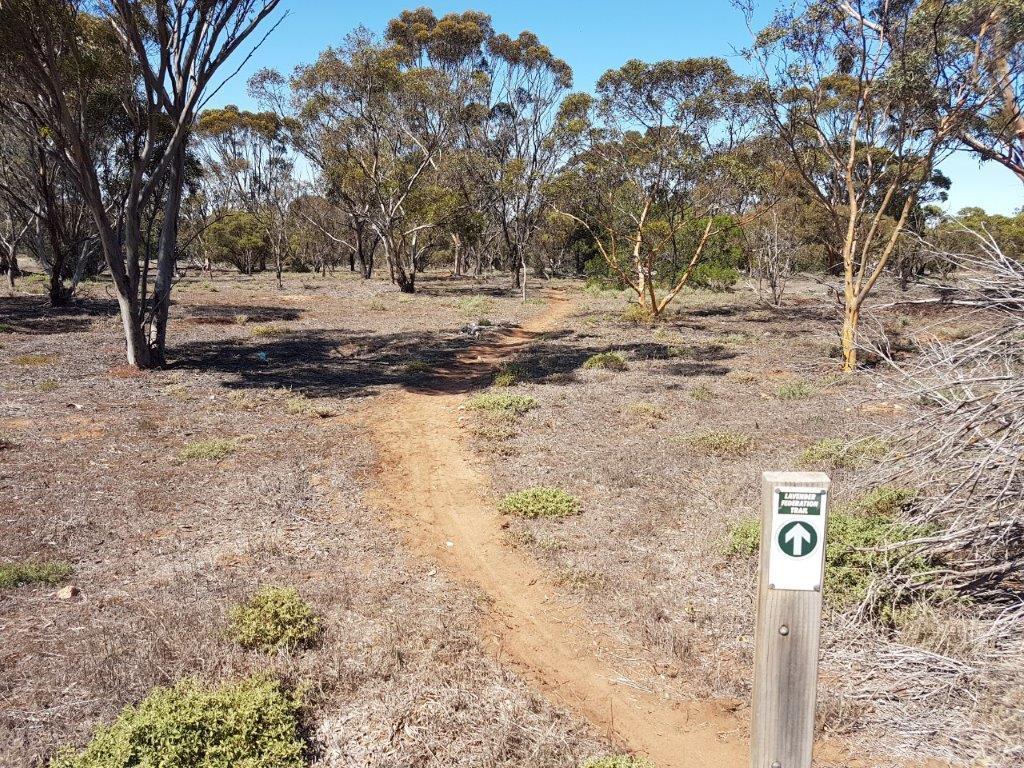
From there it’s an easy ride along Hartmann Road to Monarto Oval.
Monarto to Murray Bridge (18 km)
Leaving Monarto Oval, you ride under the railway bridge
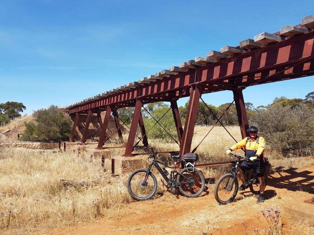
to join the track beside Monarto Zoo. This track can be sandy. If conditions are poor, you can exit to the bitumen road for a while.
When you leave the zoo behind, you ride a quiet dirt trail for the next three kilometres
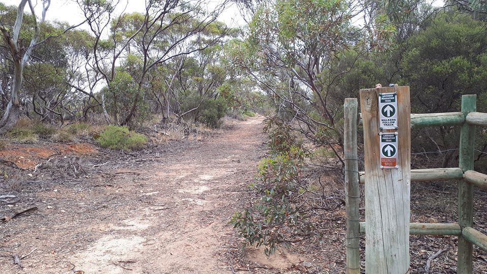
before you emerge onto the bitumen at Maurice Road.
A highlight of the Murray to Clare Lavender Cycling Trail is the last few kilometres cycling through the Rocky Gully Wetlands.
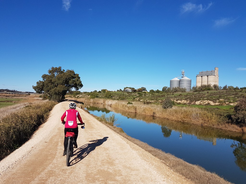
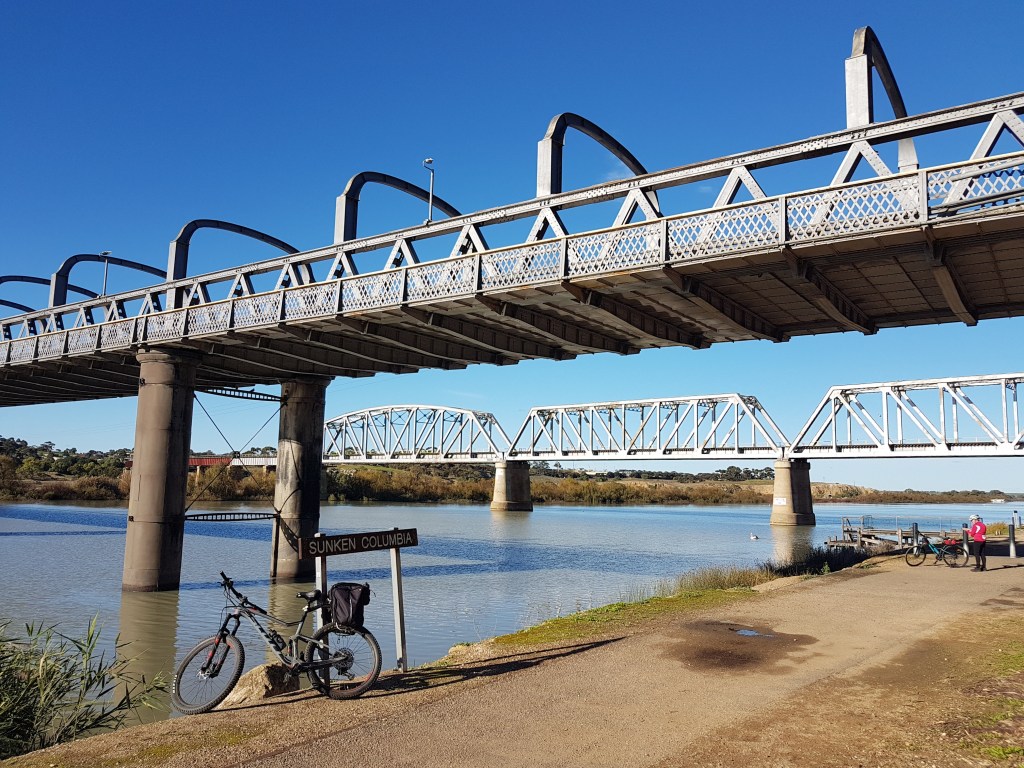
Soon you are riding along the banks of the Murray River and under the road and railway bridges
Food
This is definitely a bring your own section of the M2C with food shops available only at the beginning in Mount Pleasant, or the end at Murray Bridge.
Accommodation and Camping
The Lavender Federation Trail website has accommodation and camping suggestions for this section on Map 1. Extra suggestions for Mount Pleasant can be found on the M2C information page for Eden Valley to Mount Pleasant You may also like to try:
Sunnybrook Bed and Breakfast only 400 metres from the M2C trail near Tungkillo.
While the Rabbiter’s Hut is included on the Lavender Federation Trail accommodation page, it is worth a special mention here as relevant to and recenty used by M2C cyclists. Only three kilometres from the M2C and 53 kilometres from Murray Bridge, it’s a useful stop if you would prefer a shorter distance than the full 71 kilometres between Murray Bridge and Mount Pleasant.
Camping is permitted at
- Tungkillo Hall by prior arrangement – see the Lavender Federation Trail website for further information
- the Old Rockleigh Schoolhouse – Contact the caretaker Barbara Pym on 0428 387 060 for access to the Schoolhouse. Barbara requires one day’s notice,
see also the Kidman Trail website for trail use.(min info) - Monarto Recreation Reserve -M2C Lavender Trail cyclists have been given permission to camp. Toilets and BBQ available.
In Murray Bridge there are three caravan parks: Murray Bridge Tourist Park, Murray Bridge Marina Camping and Caravan Park and Avoca Dell Caravan Park.
As Murray Bridge is a reasonably large rural city, other accommodation options can easily be found using the Murray Bridge Visitor Centre website and also Google.
Public Toilets
Public toilets are available at Mount Pleasant, Tungkillo, Rockleigh Old School House (water not drinkable), Monarto Oval and Murray Bridge.
Summary of M2C ride between Mt Pleasant to Murray Bridge
Although this section is an overall decline of over 1,000 metres, you still have to climb over 600 metres. Given the open and dry nature of the trail once you leave Rockleigh, it is best not to ride this section on a very hot or windy day.
The full map of the Murray to Clare Cycling Trail is available here. However, for ease of reference this section from Mt Pleasant to Murray Bridge is shown below:
Read More:
For further information about this section of the trail, read about this eBiker’s ride from Mount Pleasant to Murray Bridge.
For information about the next section of the trail:-
Heading North: see the Eden Valley to Mount Pleasant page.
Murray Bridge is the Southern Trail Head for the M2C.
If you would like to provide feedback about the trail, please contact us by using the Contact Page. We will respond to you as soon as possible.