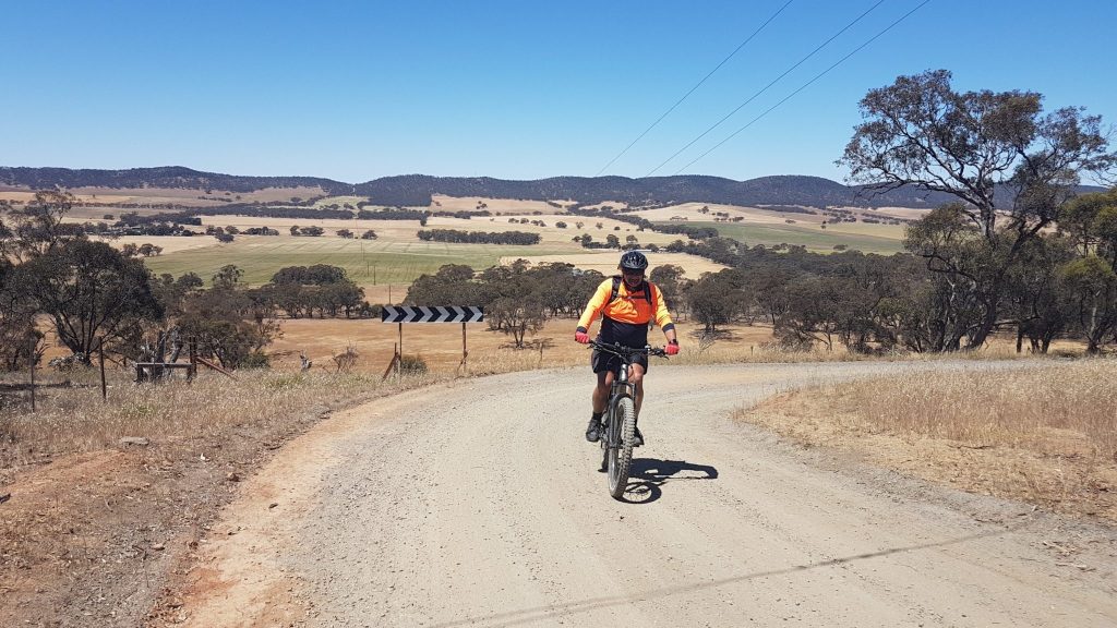
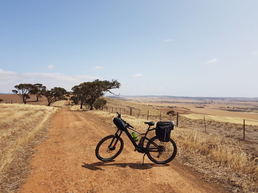
With significant climbs over Quinns Gap and Webb Gap to Inspiration Point, this is a scenic, remote and challenging section of the Murray to Clare Lavender Cycling Trail (M2C).
Waterloo to Quinns Gap (5 km)
Starting out on the M2C from Waterloo towards Eudunda, Quinns Gap Road climbs gradually over the first four kilometres.
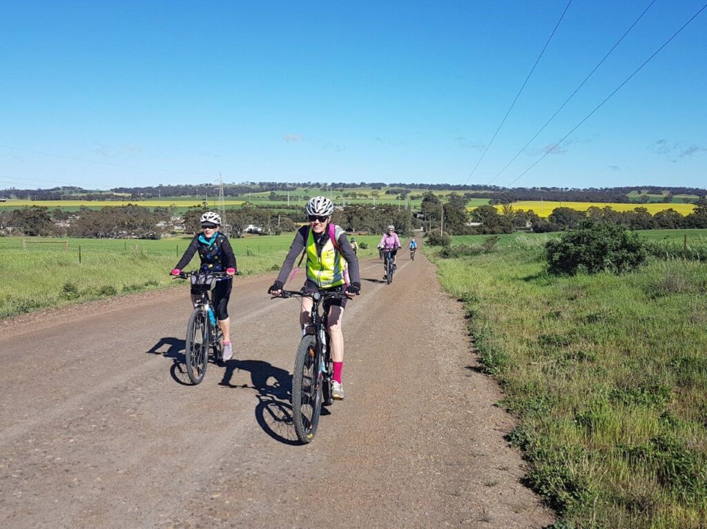
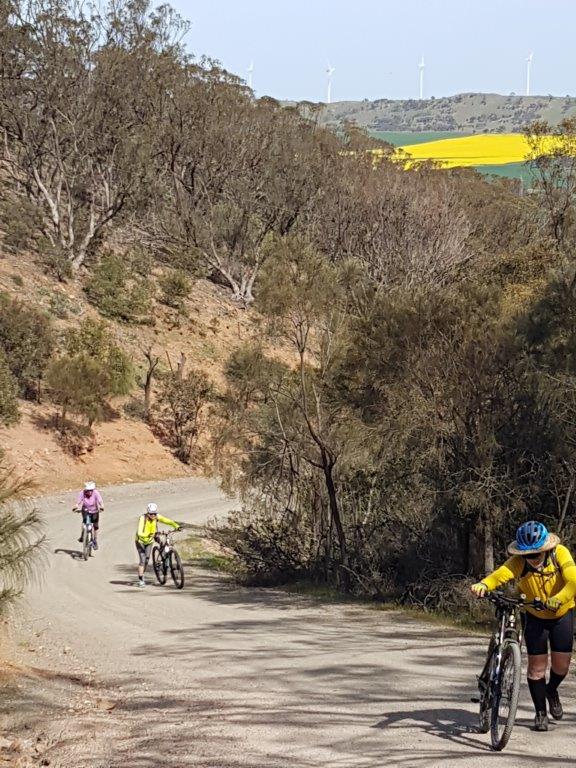
Then, as you approach the crest at Quinns Gap, the gradient steepens to around 16%.
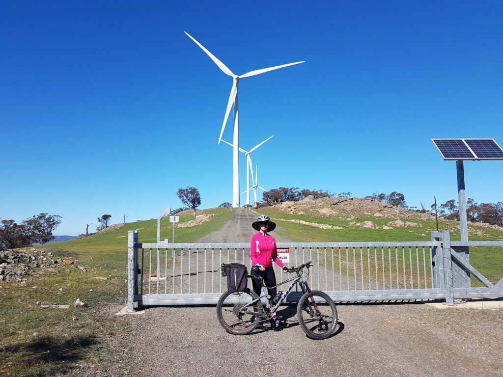
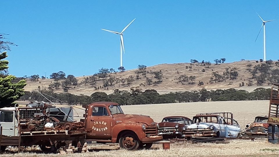
Stretching along the top of the range, the 43 windmills of Waterloo Wind Farm make an imposing sight.
This is a special spot to pause and enjoy the view from the top and appreciate that at the moment this is the closest anyone can ride or walk to any wind farm tower in South Australia (and maybe in the Country).
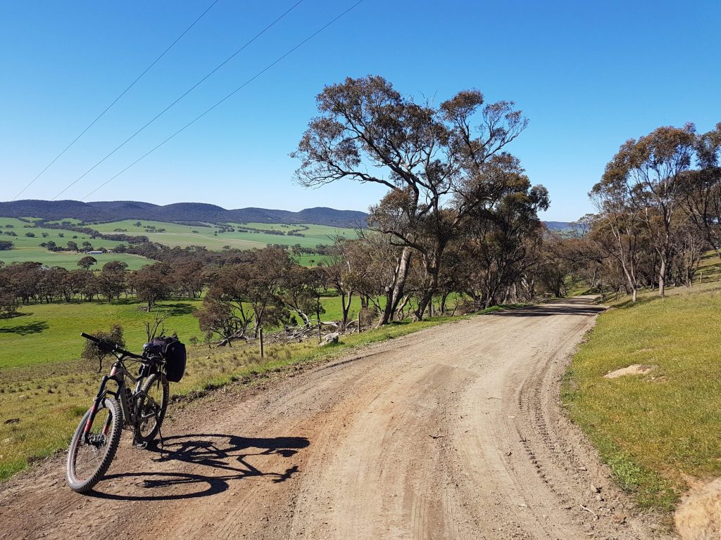
Looking east, there is a beautiful view towards the Tothill Range.
Quinns Gap to Webbs Gap (5 km)
After Quinns Gap, there is a relatively easy descent into the area known as the Tothill Belt.
When you turn onto Webbs Gap Road, you are riding a section of the M2C where the Lavender and Heysen walking trails coincide for three kilometres.
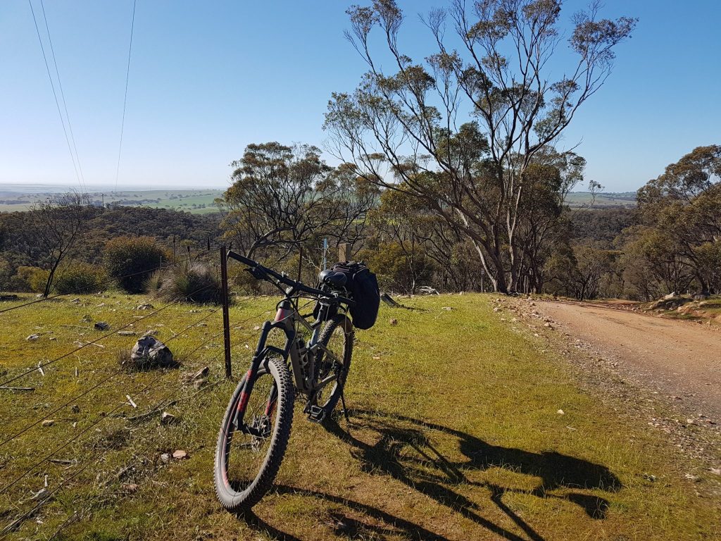
The climb to Webbs Gap spans four kilometres. At an elevation of 587 metres, Webbs Gap is the peak of the whole Murray to Clare Lavender Cycling Trail.
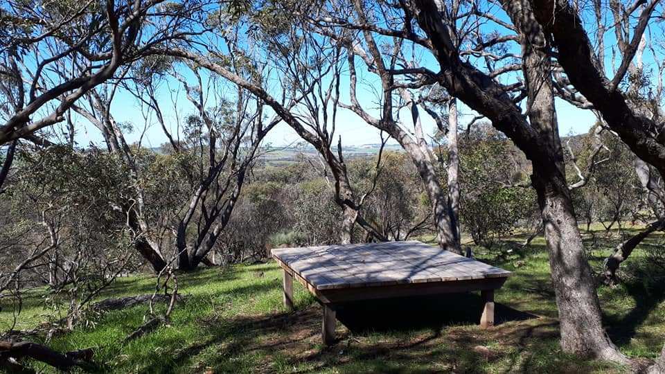
Camping is allowed just off the road at Webbs Gap. (Follow the red Heysen Trail marker.)
Webbs Gap to Inspiration Point (12 km)
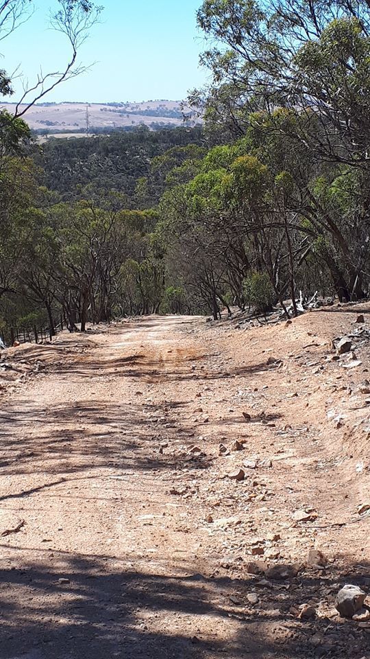
After a steep descent on a rough track with gradients of up to 20% for the first 500 metres,
You come to the Lavender Federation Trail and Heysen Trail signboards. Stop to contemplate that at this remote point two of South Australia’s great walking trails meet for a few short kilometers.
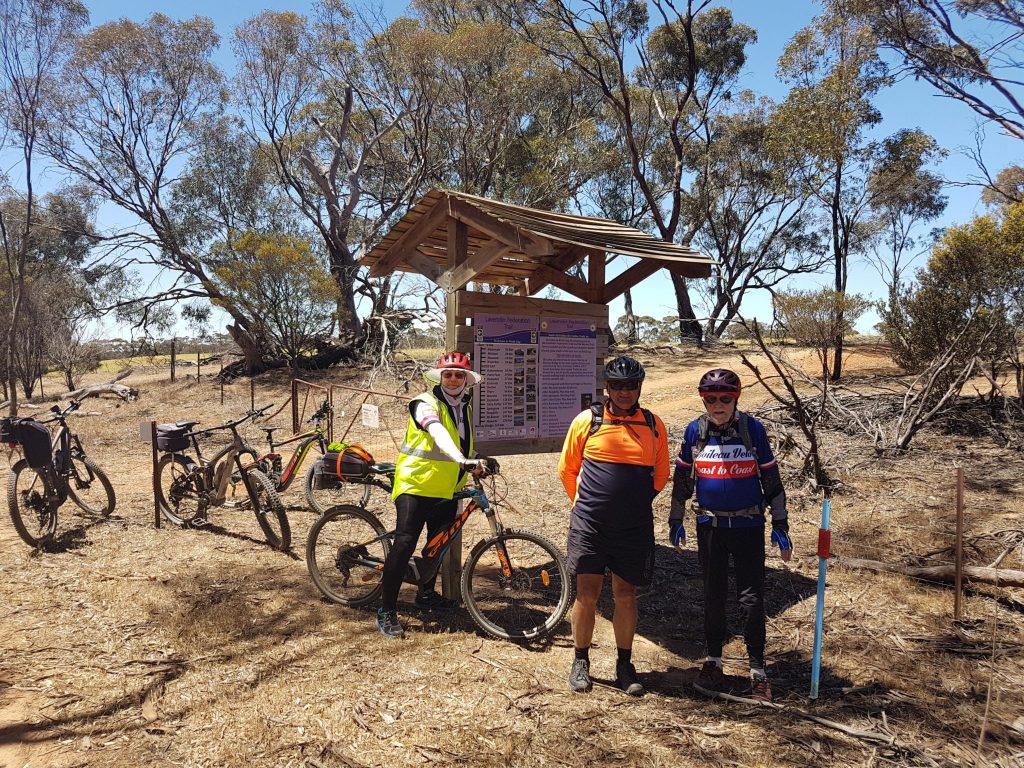
From there, the Heysen Trail turns north and the Lavender Federation Trail (walking) continues south across private land. The M2C travels east along Webbs Gap Road for three kilometres, through a section that can be muddy during winter.
When you turn onto Ngapala Road, the long but gentle ten-kilometre climb up the eastern side of the Bluff Range begins.
Once you arrive at Inspiration Point, there are beautiful 180 degree views from north to south.
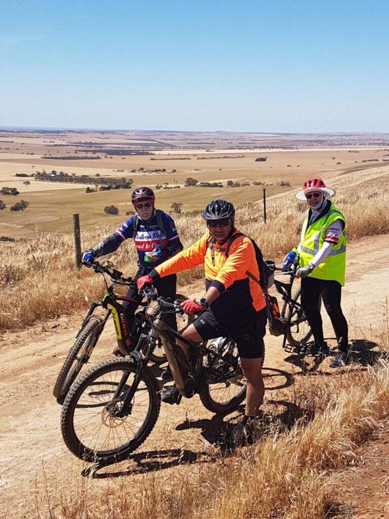
You can see more photos and a short video of the views from Inspiration Point in this post about the Eudunda Cycling Loop.
Inspiration Point to Hampden (17 km)
The view from Inspiration Point and the ride along Scenic Road is a definite highlight of the M2C trail.
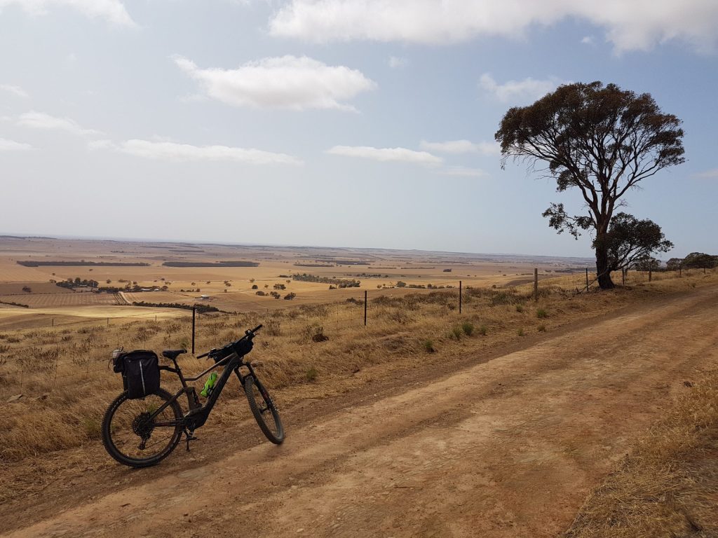
However, it can sometimes be windy along the top of the range, and despite an overall descent, there is still quite a lot of climbing.
Hampden to Eudunda (5 km)
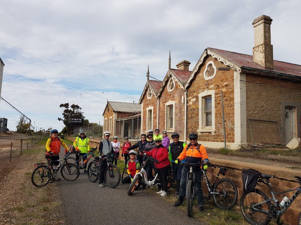
When you reach the village of Hampden, you cross a single-lane bridge over what used to be the Morgan railway line. Operating for over a hundred years between 1878 and 1994, the railway carried goods from the Murray River port of Morgan to the Port of Adelaide.
During his secondary school days famous Australian Children’s Book Author Colin Thiele AC would ride from his family home by pushbike to the Hampden Railway Station to go to the Kapunda High School for his studies. At night he would arrive in the dark and ride home through the potholes and mud with an acetylene headlight to point the way (they were notorious for their problems).
A few kilometres further along Julia road, the town of Eudunda comes into view and soon you arrive at Eudunda.
Eudunda
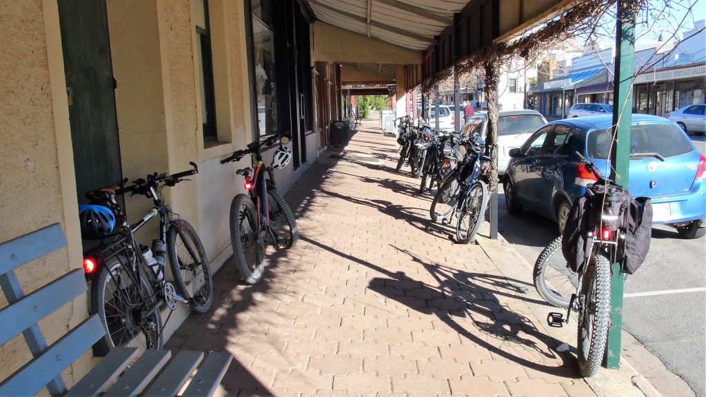
Eudunda is a significant town founded in 1870. The main street is scenic and there are a number of historic buildings, including the former Eudunda Railway Station.
Food, Accommodation and Camping
This is a bring your own section of the M2C with no food outlets or accommodation until you get to Eudunda. Camping is allowed at the top of Webbs Gap and at the Eudunda Caravan Park. Information about other accommodation options in Eudunda can be found under Map 4 of the Lavender Trail Accommodation Page.
At Eudunda, both the Eudunda Bakery, Eudunda Roadhouse and Foodland supermarket are open seven days per week. Other food outlets are Good Karma Cafe, Kooky’s Kafe and Katering open at various times.
Public Toilets
Public toilets are available only at Waterloo (1 x location) and Eudunda (3 x locations).
Summary of M2C ride from Waterloo to Eudunda
The full map of the Murray to Clare Cycling Trail is available here. However, for ease of reference this section from Waterloo to Eudunda is shown below:
Read More:
For further information about this section of the trail, see Day 2 of Helen’s eBike Adventure on the M2C.
For information about the next section of the trail:-
Heading North: see the Clare to Waterloo page.
Heading South: see the Eudunda to Truro page.
If you would like to provide feedback about the trail, please contact us by using the Contact Page. We will respond to you as soon as possible.