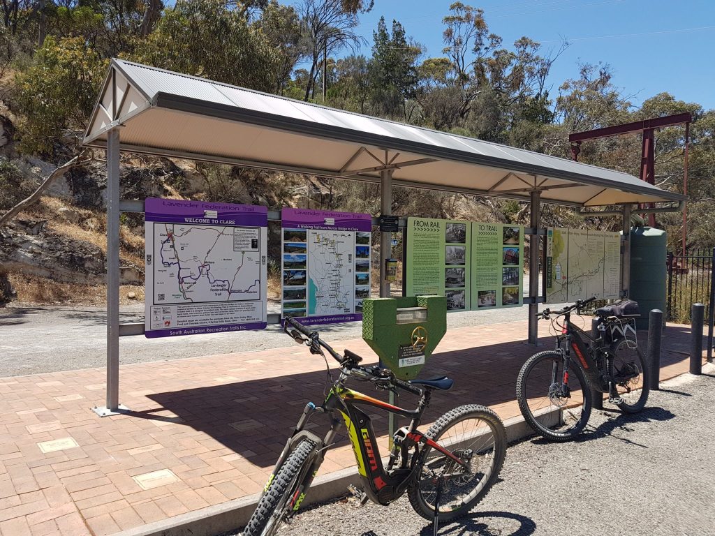
The Murray to Clare Cycling Trail (M2C) between Clare and Waterloo wanders along some of the lesser known dirt roads of the Clare Valley past the Spring Gully Conservation Park, and you travel through the historic town of Mintaro and the small townships of Manoora and Waterloo.
Jump To M2C – 1 [Accommodation], [Public Toilets]
Clare to Penwortham (19 km)
The northern end of the M2C starts at the former Clare Railway Station near the Lavender Walking Trail signs.
The trail begins with a gradual climb, passing the Clare Cemetery. After three kilometres, the gradient steepens, with a short respite before a five kilometre ascent past Eldredge Winery to Spring Gully Conservation Park.
The view looking west is outstanding.
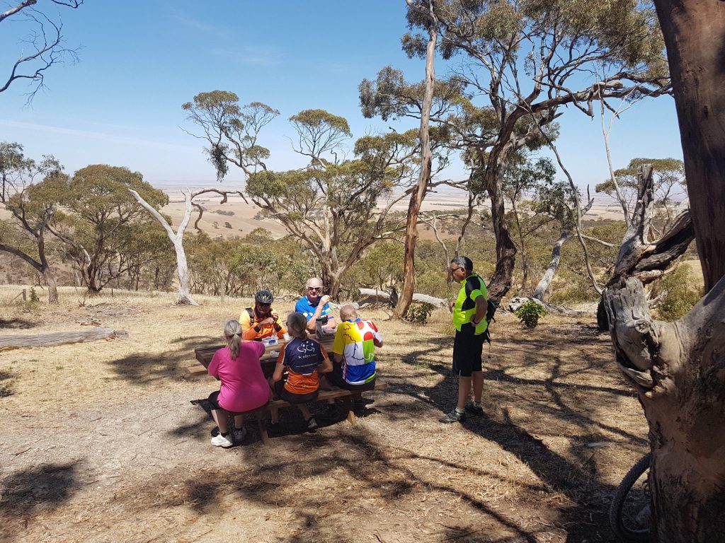
Then it’s on with the ascent for two more kilometres to reach the peak for the Spring Gully section at the twelve kilometre mark.
An enjoyable descent takes you to the vineyards of Skillogalee, with its well known restaurant. Morning tea is also served after 10.00 am and afternoon tea after 3.30 pm, but please check directly with Skillogalee if you are planning to stop there.
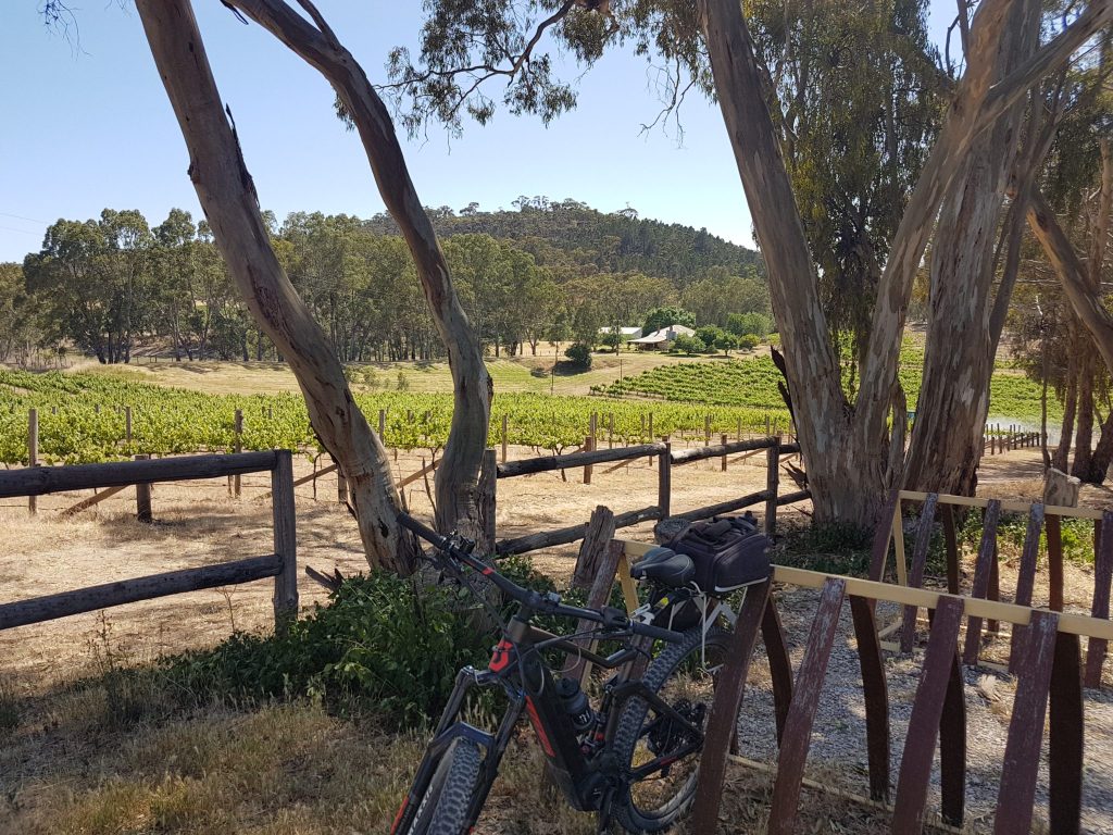
After Skillogalee, there is another steep climb on Willow Glen Road before you roll down to cross the Horrocks Highway and join the Riesling Trail. From there, the M2C follows the Riesling Trail to Penwortham Siding on Morrison Road.
If you don’t want to tackle the climbs to Spring Gully, you can ride directly to Penwortham along the Riesling Trail (11 km).
Penwortham to Watervale (5 km)
From Penwortham Siding, you continue for a further five kilometres to the town of Watervale, passing the crest of the Riesling Trail on the way.
At Watervale, the M2C turns onto Commercial Road to take you past the Old Stanley Grammar School and two historic churches.
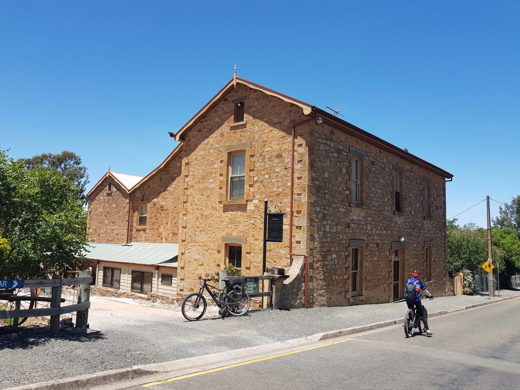
The Watervale General Store and the Watervale Hotel both provide excellent food.
From Watervale, you can connect to the Copper Trail or the Rattler Trail by following the Riesling Trail a little further south.
Watervale to Mintaro (12 km)
Watervale to Mintaro is an extremely enjoyable section of the trail, with manageable hills, lovely views and pretty towns with eating spots at either end.
The ride begins with a gentle climb for three kilometres on Watervale Road. You are rewarded with lovely views to the east before the descent to Mintaro Road.
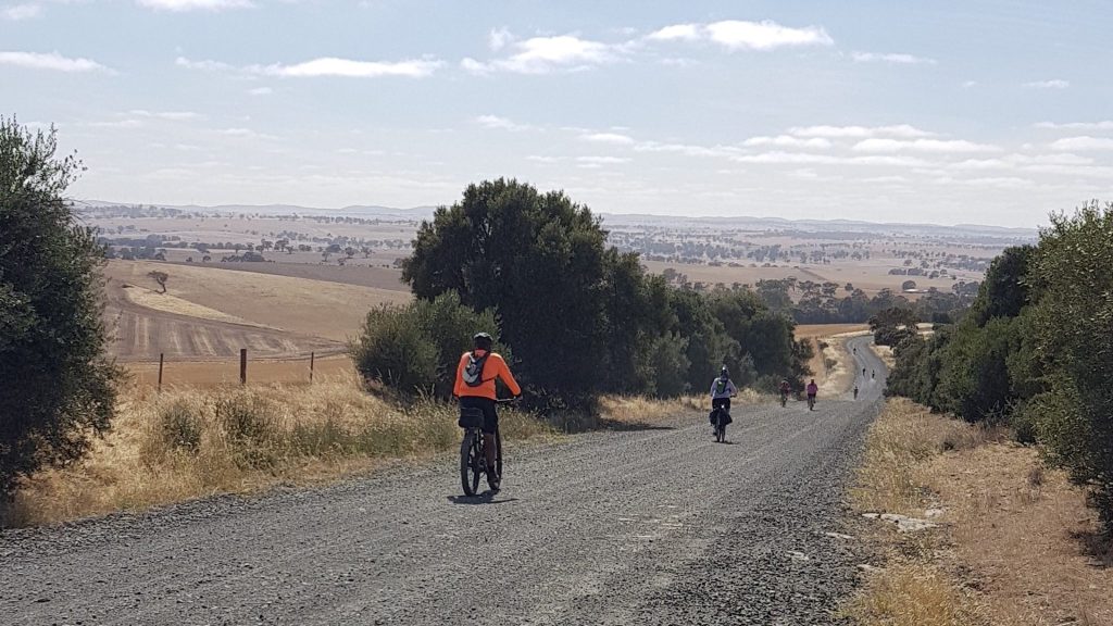
After following the bitumen for three kilometres, you turn off onto dirt again at Kadlunga Road. From there, it’s only a few kilometres until you arrive at the old slate-mining town of Mintaro.
Dating from 1849 when copper from the Burra Mine was carted to Port Wakefield, this historic town is well worth allowing some extra time for.
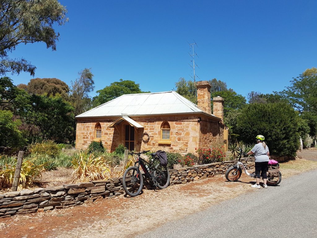
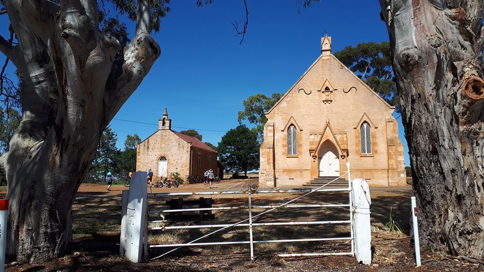
In Mintaro, the Magpie and Stump Hotel is open every day after 11 am. Another option is Reillys Wines, but please check with them whether coffee and food are available on the day that you will be there.
You can see more photos from this section of the M2C in Helen’s post about their ride from Watervale to Manoora.
Mintaro to Manoora (20 km)
This is another very enjoyable and manageable section of the Murray to Clare Cycling Trail. However, there are no cafes in Manoora and the pub has closed, so you will need to take your own food with you.
Exciting News – February 2021 – Food & Drink Van makes regular visits to Manoora – Read this article on the LFT website
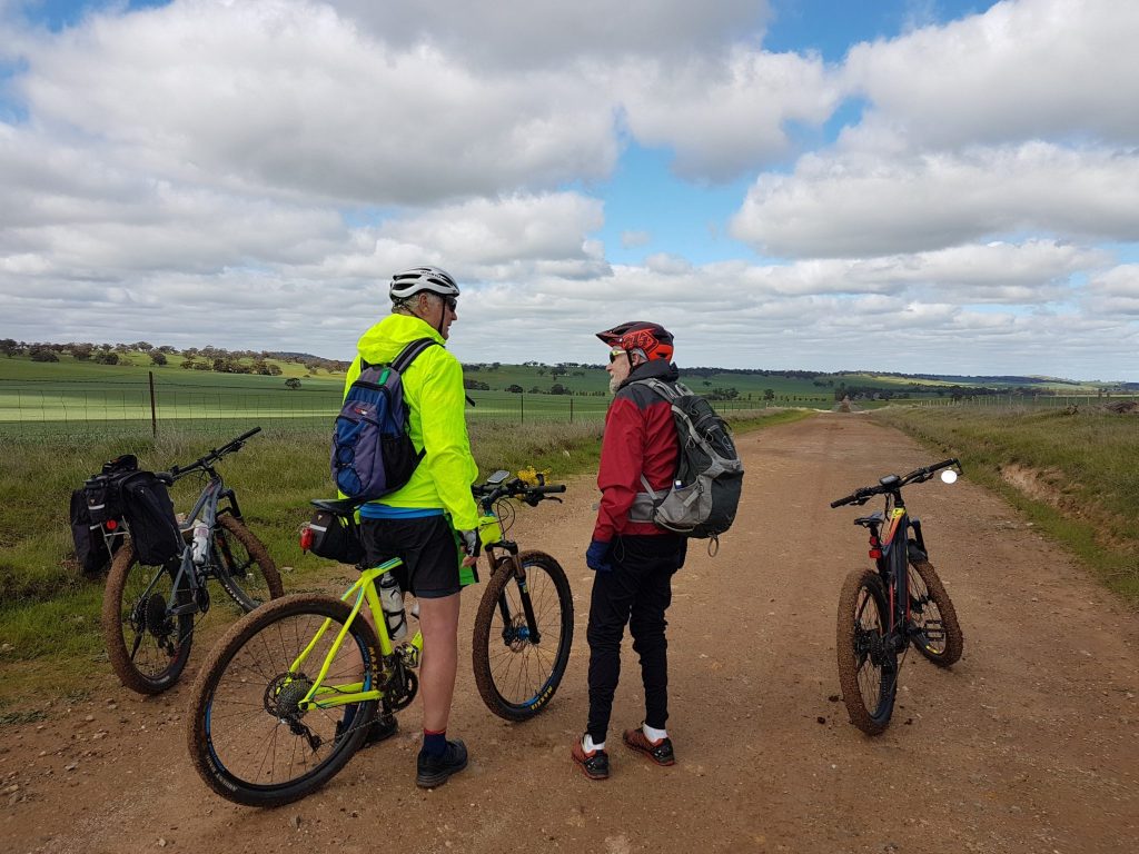
Manoora was established as a railway town in 1867. It is well worth visiting the old station (location marked on the full Murray to Clare Cycling Trail map).
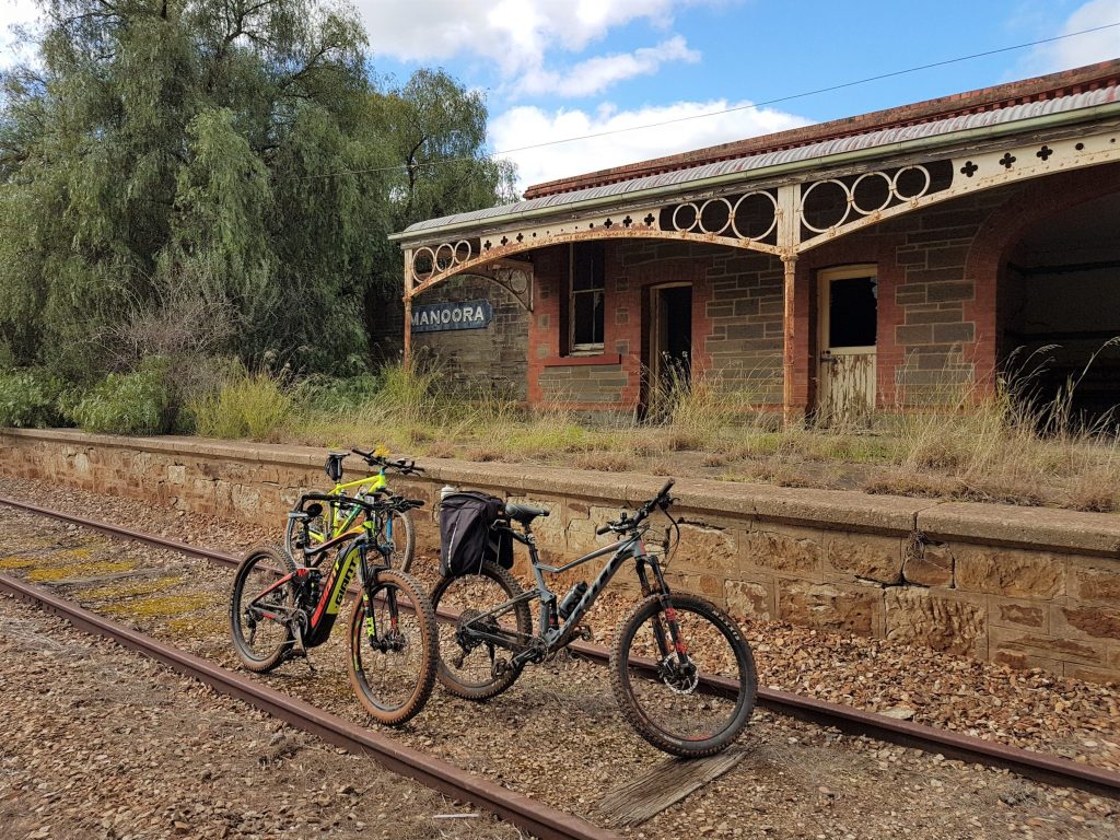
For more information about this section of the M2C, you can read about Helen & Friends ride from Watervale to Manoora in winter.
Manoora to Waterloo (12 km)
On leaving Manoora, there is a steady climb for four kilometres. From there, you roll down to Carlsruhe Lutheran Church, built by German immigrants in 1863. If you book ahead, it is possible to stay at the former manse, Carlsruhe Retreat.
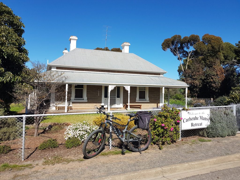
After Carlsruhe, it’s only four more kilometres to the end of this section of the M2C at Tom Kruse Park in Waterloo.
Tom Kruse, the Birdsville track mailman, delivered mail to outback stations over sand dunes and through floods from 1936 to 1957. Born of German parents near Waterloo, he featured in the 1954 documentary “Back of Beyond”.
Waterloo is a small village and there are no food outlets.
Summary of M2C Ride between Clare and Waterloo
In summary, starting in Clare, the first seventeen kilometres of the trail include some challenging climbs. However, you can circumvent this by using the Riesling Trail to ride directly to Penwortham.
From there, the rest of the ride to Waterloo is achievable by an intermediate or average rider.
Accommodation and Camping
The Lavender Trail website has accommodation and camping suggestions for Clare, Mintaro and Manoora. In addition you may wish to look at these ideas:
Skillogalee
Skillogalee winery offers three different cottage accommodation options.
Watervale
32 West B&B (200 metres from the M2C trail)
Rosebrae Cottage (right on the trail)
Stanley Grammar Country House – luxury accommodation, minimum 2 night stay, (right on the M2C trail)
Leasingham
Also, Leasingham Village Cabins, three kilometres down the Riesling Trail from Watervale, provides accommodation and camping sites.
Mintaro
Devonshire House (right on the trail)
Eleanor Ivy Cottage (50 metres from the M2C trail)
Millers House (right on the trail)
Mintaro Hideaway (50 metres from the M2C trail)
Mintaro Mews (right on the trail)
Reillys Heritage B&B Cottages (various, close to the M2C trail)
Manoora
Seven kilometres north of Manoora and only 500 metres from the M2C on Wirrilla Road, is Fairview Homestay. Please contact your host James for availability and further information on 0408 414 347. Approximately $55 per person per night.
Between Manoora and Waterloo, Carlsruhe Manse Retreat, which is managed by the congregation of Carlsruhe Church, can be booked in advance.
Public toilets
Public toilets are available as shown on the main M2C map in Clare, Watervale, Mintaro, Manoora and Waterloo.
Read More:
For further information about this section of the trail, see Helen & Friends ride stories (all with the Uncool Cycling Club):
From Watervale to Manoora, or
Day 1 of an eBike adventure riding north to south on the M2C.
For information about the next section of the trail:-
Clare is the Northern Trail Head for the M2C.
Heading South: see the Waterloo to Eudunda page.
The full map of the Murray to Clare Cycling Trail is available here (RideWithGPS). However, for ease of reference this section from Clare to Waterloo is shown below:
If you would like to provide feedback about the trail, please contact us by using the Contact Page. We will respond to you as soon as possible.